A city is only as successful as its citizens’ investment in its future.
If you have called Pondicherry home at some juncture in your life, you probably care about the future of our city.
With Pondicherry all set to become a ‘Smart City’ and ambitious plans being drawn up for the future, it is important for every Pondicherrian or anyone who loves Pondicherry to familiarise themselves with three plans that are currently underway.
This week, we look at the Comprehensive Development Plan (CDP), currently being prepared by the Government of Pondicherry. The is the single-most important document for the entire Pondicherry region, as it will determine how Pondicherry will grow over the next 20 years.
Comprehensive Development Plan (CDP)
What is it?
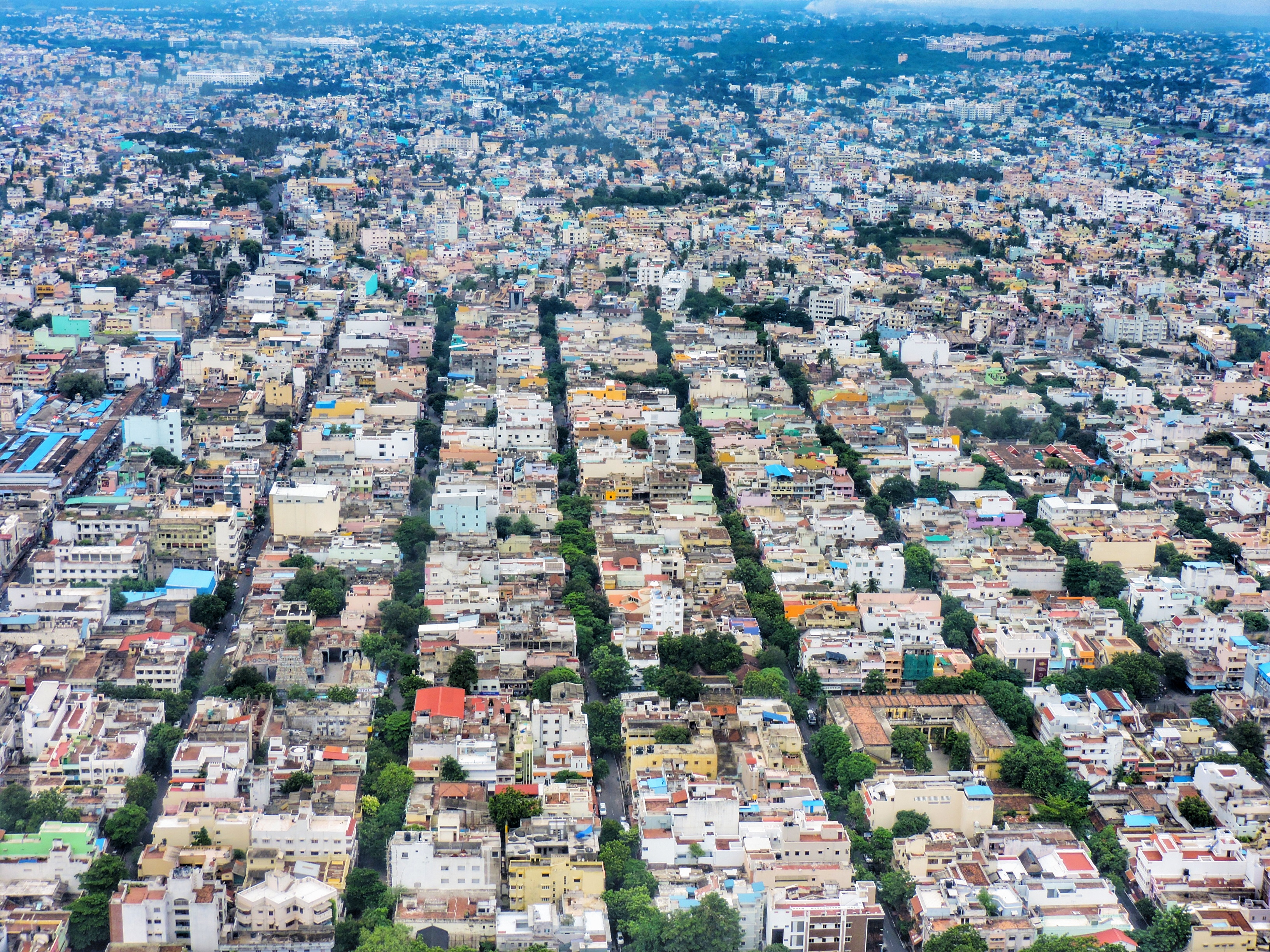
The Comprehensive Development Plan is a statutory plan prepared every 20 years by the Town and Country Planning Department (TCPD), Government of Puducherry. The last such plan was prepared in 2001, and preparation of the new plan began in 2015. Pondicherry’s new CDP will cover its entire region measuring 293 sq.km – comprising Pondicherry and Oulgaret Municipalities, and the Commune Panchayats of Villianur, Ariankuppam, Bahour, Nettapakkam and Mannadipet. The CDP will direct future development up to 2035/2036.
The CDP usually addresses:
- Future land use
- Housing
- Natural resources
- Traffic and circulation
- Economic growth, and
- Disaster management among other aspects of city development.
Why should you pay attention?
Once sanctioned, the Government will be empowered to develop every parcel of land under its jurisdiction as per the CDP. Ask yourself
- Will the CDP preserve our natural resources – lakes, water reservoirs, beaches, mangroves, and forests?
- Will our agricultural lands be protected?
- Will there be equity in the distribution of infrastructure such as water and power supply, waste management, social housing, public transport, education and health facilities?
- Will the CDP conserve and enhance our city’s diverse built, natural, and cultural heritage?
- Does the CDP give adequate attention to improving our city’s resilience and response to natural and man-made disasters?
- Will the CDP prioritize the needs of tourists or residents?
What has happened so far?
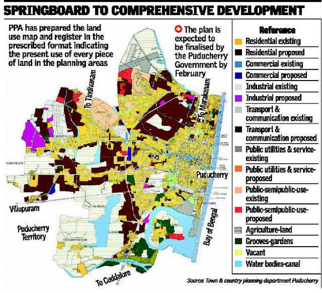
The Puducherry Planning Authority released the Existing Land Use (ELU) Map and Register for the Puducherry Planning Area , for public inspection in November 2015. This was an opportunity for all residents to check for any errors in the map: for example, if a natural water body was marked as a commercial plot. Officially adopted in January 2017, the ELU Map became the basis for preparing the Draft Comprehensive Development Plan (CDP).
What is the present status of the new CDP?
The Draft CDP is currently under internal review by the Government of Puducherry and not yet accessible to the public. Once this review is complete, the Town and Country Planning Department is obliged to publish the Draft CDP in the Government Gazette and public newspapers , and invite public suggestions and objections. These will be reviewed and incorporated before finalising and implementing the CDP.
What can you do?
Keep a look-out in your local newspapers and on the TCPD website for updates. Take time to review the plan, when published, to ensure it is equitable for all Pondicherrians. Meanwhile, you can review the Existing Land Use Map and Register 2015 for any discrepancy between the map and ground reality.
Alarmed at the increasing traffic jams in Pondy? Check in, next week, when I reveal the 2nd document you should read!
Have questions about the CDP? Ask away in the comments section! Our columnist will be happy to respond.


